Driving distances on Madeira
A quick guide to driving times needed on Madeira
You can open and maximize the interactive map below, to get a quick idea of how fast your rental car can get from point A to B on Madeira. Click on the orange question mark to see distances in time between the main crossroads on Madeira. Why would you want to do this? Well the time spent in your car is not what you would expect just looking at the map.
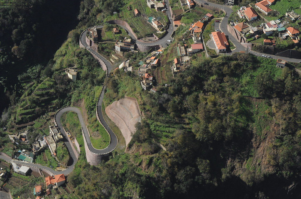
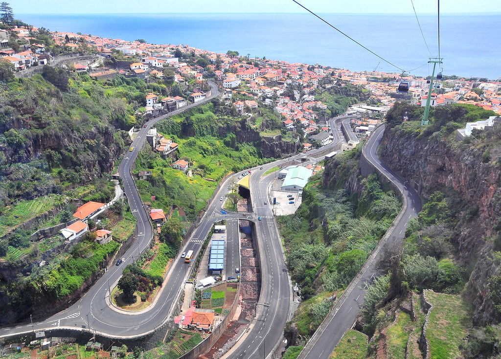
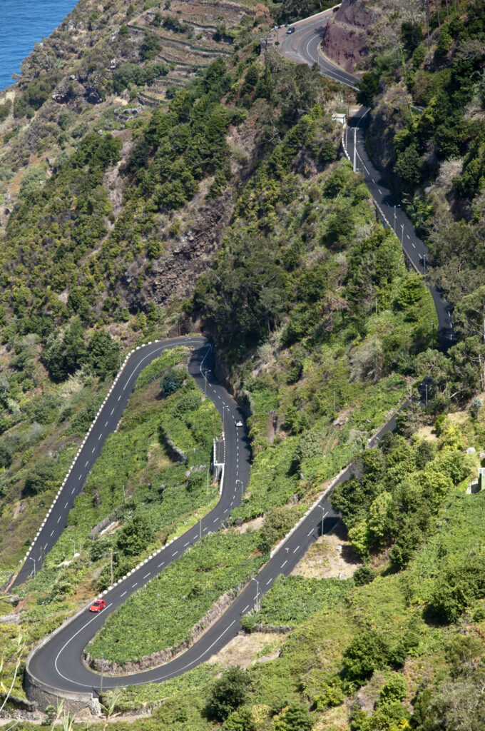
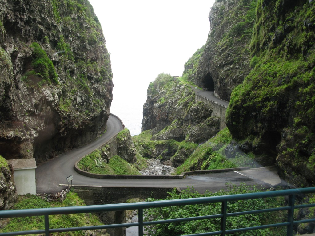
Madeira’s tunnels allow you to zip through the mountains and cover a big distance in a straight line at a sustained speed. Other time-consuming itineraries without tunnels will have you cover more distance over windy roads, sometimes with steep climbs and descents (for example driving from Santana to Ponta Delgada).
Driving times on Madeira are not what you would expect
Over the last decade, the network of express roads using modern tunnels and bridges has advanced tremendously. This means your average speed is quite high on all major interconnections, with 2 notable exceptions:
- Between Santana/Sao Jorge and Boaventura on the North coast you will advance at a snail’s pace, due to the use of old and windy mountain roads. Lift your foot, take it easy and enjoy the wonderful drive though.
- Between Prazeres and Porto Moniz, you may feel like you are advancing at a nice pace, until you realize that your trajectory is that of a spaghetto in a spaghetti bowl.
For example:
-in the East, driving from the airport (G) to Santana (F) will take you about 20-25 minutes. You will arrive completely relaxed.
-in the West, driving from Porto Moniz (F) to Prazeres (H) looks like a similar distance? It will take you 55-60 minutes to cover the distance! And you may also feel a slight nausea at the end of the trip..